Google is integrating artificial intelligence and satellite imagery to help public health officials move from reactive crisis management to proactive prevention. By combining environmental signals with advanced geospatial models, health leaders can now map at-risk populations and forecast disease outbreaks significantly faster than traditional manual methods.
Frontline Impact: The Ebola Response
In the Democratic Republic of Congo (DRC), Google partners, including the World Health Organization’s Regional Office for Africa (WHO AFRO), utilized research prototypes to combat the ongoing Ebola outbreak. Using a Geospatial Reasoning agent, the team identified 48 exposed settlements and over 45,500 at-risk people in remote mining corridors within minutes—a task that typically takes weeks. This speed allowed for the rapid deployment of mobile laboratories and enhanced border surveillance.
Foundation Models for Population Dynamics
The core of this initiative lies in the Population Dynamics Foundation Model (PDFM), which aggregates search trends, mobility patterns, and environmental data. Research highlights several key successes:
- Cardiovascular Health: Researchers at NYU Langone Health projected same-year mortality with high accuracy, enabling faster resource allocation.
- Dengue Fever: In Mexico, combining PDFM with climate models allowed for better forecasting of seasonal surges, providing lead time for preventive measures.
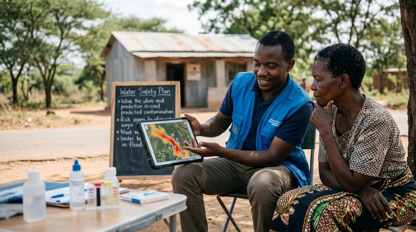
- Waterborne Diseases: In the DRC, the technology improved the identification of cholera-prone zones up to eight weeks in advance.
Global Availability and Support
To scale these efforts, Google has made PDFM embeddings available in preview as "Population Dynamics Insights" via the Google Maps Platform. Eligible researchers and health professionals can request no-cost access to these insights or apply for Google Earth credits. Additionally, Google.org has provided funding to the DRC’s National Institute of Biomedical Research (INRB) to modernize local disease surveillance infrastructure.