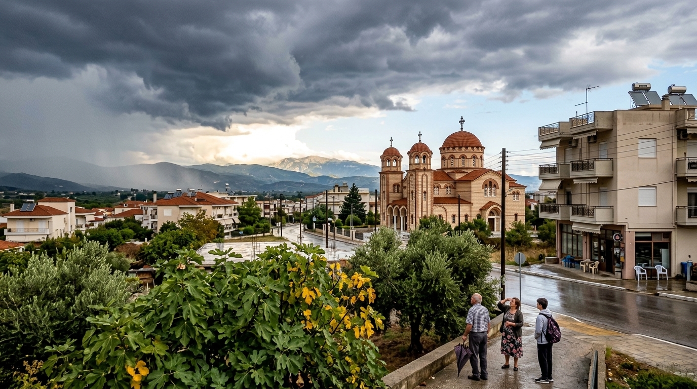
In the peak of the Greek summer, nature is reminding us of its unpredictable side. July 5, 2026, finds the country split between traditional seasonal high temperatures and intense atmospheric instability affecting specific geographical zones. While the mercury continues to climb to 34°C, creating uncomfortable conditions in urban centers, a wave of localized rainfall and isolated storms is reshaping the landscape in eastern and northern regions.
The Geography of Instability: Which Areas Are Affected?
According to the latest meteorological data, a "cold pool" in the upper atmosphere is responsible for the heavy cloud cover observed since early morning. Central Macedonia, and particularly Chalkidiki—one of the most popular tourist destinations of the season—is at the epicenter. Vacationers are facing intermittent rains which, though brief, are characterized by high intensity.
A similar picture is emerging in eastern Thessaly, the Sporades, Evia, and eastern Central Greece. In these regions, wind convergence creates ideal conditions for storms, primarily during midday and afternoon hours. It serves as a reminder that the Greek summer is not always an undisturbed blue sky, but a dynamic system influenced by broader climatic shifts in the Mediterranean.
- Chalkidiki: Intense activity with a probability of hail in mountainous areas.
- Sporades: Passing showers affecting small-scale maritime transport.
- Evia: Cloud cover limiting sunshine, offering a brief respite from the heat but posing risks for campers.
Temperature Contrasts and the Influence of the Etesians
Despite the rains, heat remains the dominant player across most of the territory. In western Greece and the Ionian Islands, the sky remains clear, with temperatures easily reaching 34°C. The temperature differential between the areas experiencing rain and those enjoying sunshine creates a sharp thermal contrast.
"The current situation is a classic example of summer instability, which is however intensified by the warmer waters of the Aegean, providing more energy to storm systems," climate analysts note.
In the Aegean, northern winds (Etesians or 'Meltemia') are blowing at 4 to 6 Beaufort, acting as a natural air conditioner for the Cyclades islands, but simultaneously increasing the risk of wildfires in areas where no rainfall occurs. Drought combined with winds remains the Civil Protection's greatest fear, despite the local "injections" of moisture from the storms.
Social and Economic Implications
This weather shift has a direct impact on daily life and economic activity. In the tourism sector, businesses in the Sporades and Chalkidiki are seeing a temporary dip in beach bar consumption, while cancellations of daily cruises are frequent during these days. However, for the agricultural sector in Thessaly, these rains—provided they are not accompanied by hail—are a blessing for crops tested by prolonged heatwaves.
Public health is also affected, as increased humidity combined with 34°C temperatures raises the heat index. Vulnerable groups in cities like Athens, where temperatures remain high without the beneficial effect of rain, are urged to be particularly cautious. A gradual improvement in the weather is expected from the evening hours, with phenomena weakening and leaving behind a clearer atmosphere.
Conclusions for the Climatic Future
This "rainy scene" in July should not be considered accidental. The scientific community has been warning for years that the climate crisis does not only mean more heat, but also more violent weather fluctuations. The appearance of storms in the heart of summer is becoming the rule rather than the exception, requiring a new culture of adaptation from both the state and its citizens. Water resource management and the reinforcement of infrastructure against flash floods are now top priorities for Greece.